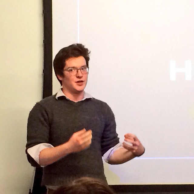
Last week, Nat Zorach of the Handbuilt City came to hack night to talk about their efforts to purchase buildings using crowdfunding.
Smart Chicago is a founding tenant of 1871 and we have been active in helping make it a national center for civic innovation.
Last week, Nat Zorach of the Handbuilt City came to hack night to talk about their efforts to purchase buildings using crowdfunding.

Nat Zorach from The Handbuilt City will discuss how they use Fundrise to spur the development of affordable housing in Gary, IN and St Louis, MO..
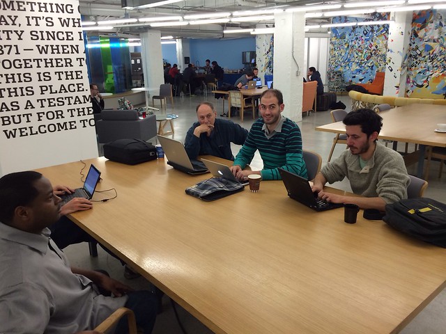
Livestream starts on this very blog post at 6:15
At the last Chicago OpenGov Hack Night, Charles Watkins from Get Covered Illinois talked about the Affordable Care Act and its implementation here in Illinois.
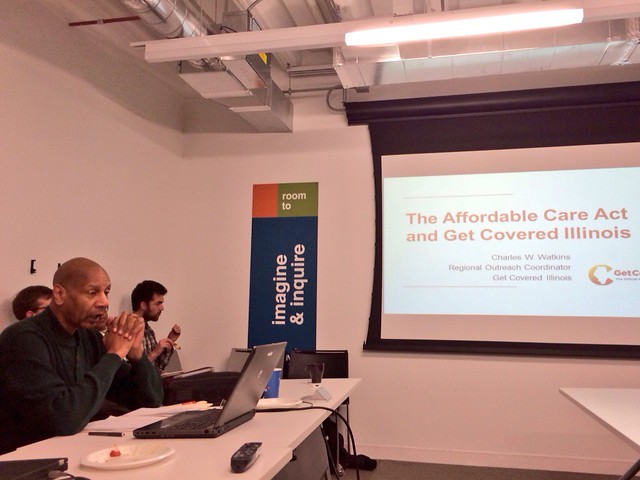
Get Covered Illinois is an effort by the State of Illinois to make sure that all residents in Illinois get health insurance. Here’s Charles Watkins explaining the effort.
The Affordable Healthcare Act brings about several benefits that weren’t available before including a restricting insurance companies from denying claims based on pre-existing conditions, allowing residents to remain on their parents insurance until age 26, and more coverage for preventative services. Watkins explains the benefits of the ACA below:
There are a number of websites that people can use to get information about the Affordable Healthcare Act and get pre-screened for benefits. Those sites are:
Charles explains the details of each site below.
After presenting Charles also answered questions from the civic innovation community.
You can find out more about Illinois’ efforts to implement the ACA by going to GetCovered Illinois.
At tonight’s Chicago OpenGov Hack Night: Charles Watkins from Get Covered Illinois will discuss the Affordable Care Act and its implementation here in Illinois.
Livestream will begin on this blog post at 6:15 PM CST.
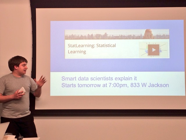
At last week’s OpenGov Hack Night, Nick Dorian spoke about GeoGit and GeoGinger and how they can help with the process of making maps.
One of the issues with GitHub is that it’s not a great tool for tracking changes in maps.
GitHub has a great feature that will show the differences in changes in a repository. For example:
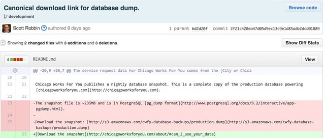
You can see in red what has been deleted and the green text shows what was added for this particular commit. However, when changing arounds map data – the difference looks like this:

Image Courtesy Nick Dorian
It doesn’t really show the changes that were made in a way that anyone can understand.
Using GeoGit, you can easily keep track of the differences in geographic data from one commit to another.
Nick explains how it works here:
While GeoGit helped to identify changes in geographic data, there wasn’t an easy way to push this information back into GitHub. So, over the summer Dorian built GeoGinger as a way to bridge GeoGit and GitHub. Here’s Nick explaining GeoGinter:
Both GeoGit and GeoGinger are open source projects that can be found on GitHub.
Nick Doiron will present GeoGit, a way for cities and civic hackers to publish their data and make maps that change over time.
Live stream will start at about 6:15pm on our Google Plus page where we’ll have the Q&A feature up and running so viewers can ask questions during the presentation.